GIS & Geomatics
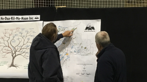
A Geographic Information System (GIS) lets us visualize, question, analyze, and interpret data to understand relationships, patterns, and trends occurring on the Kenogami Forest.
Nedaak provides a full suite of GIS services including:
- Custom map creation
- Data conversion and acquisition
- Geodatabase development
- Prepare maps, tables, and spatial data required for Forest Management Planning: FMP, AMS, AR, Revisions, Amendments, and Audits
- Forest Resources Inventory Update data preparation
- Design/maintain water crossing inspection database and photo storage
- Create scripts and models to automate tasks
- Values mapping
